Software
At Navicom Dynamics we combine our world-leading portable pilot technology with the leading pilot Electronic Charting Systems.
Below are some of the most popular piloting software options that we provide.
QPS Qastor
Qastor by QPS is a powerful electronic charting system that gives pilots clear and easy-to-understand information. QPS has been developing portable electronic charting and navigation systems for marine pilots since 2000.
Qastor is offered as a yearly software subscription. Add-on modules are available to suit the individual needs of ports and pilots.
Qastor is regularly updated with new and improved features.
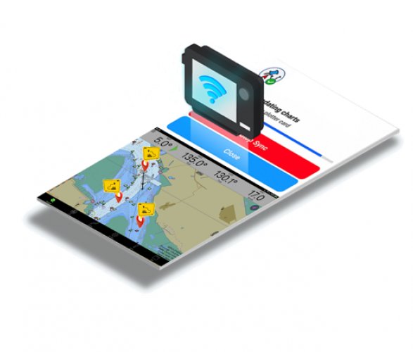
SEAiq Pilot
SEAiq Pilot is a multi-platform piloting solution, with support for all major operating platforms and PPU devices. It combines great piloting features with incredible ease-of-use.
SEAiq offers a dedicated section for settings unique to Navicom PPUs.
SEAiq supports a wide range of vector and raster chart formats and integrates with others services such as VoyageBank. Available on Apple iPad and iPhone, MacOS, Android and Windows devices.
Wartsila Pilot PRO
Pilot PRO by Wartsila is an iPad application designed for deep sea, channel, and river pilots and other marine professionals.
Pilot PRO is designed to assist pilots in their daily routine, helping to maintain efficient pilotage and other onboard operations. The app is fully customisable and has a carefully considered range of specific pilot features.
Pilot PRO supports local navigational information, such as tidal currents, tidal reference points, and weather data to facilitate navigation under local conditions.
Other Software
Navicom Dynamics PPUs can run with any software that receives NMEA messages and we will happily integrate your current or preferred software with our systems. We can also integrate our products with software designed for functions such as dynamic under keel clearance.
If the options above do not suit, Rose Point ECS and Orca Pilot G2 are also well-reputed and work with Navicom PPUs.
Contact us for further discussion about which software option is right for you.
Features
Specifications
Send us a enquiry to support@ navicomdynamics.com and we will contact you directly with the customised specs you need. Alternatively, you can complete our Solutions Generator form and we’ll be back in contact with sales options for you.